- Low stock - 7 items left
- Inventory on the way
Pairs well with
Description
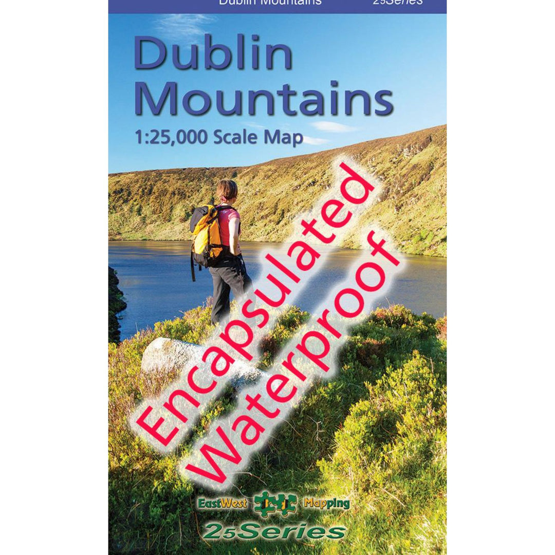
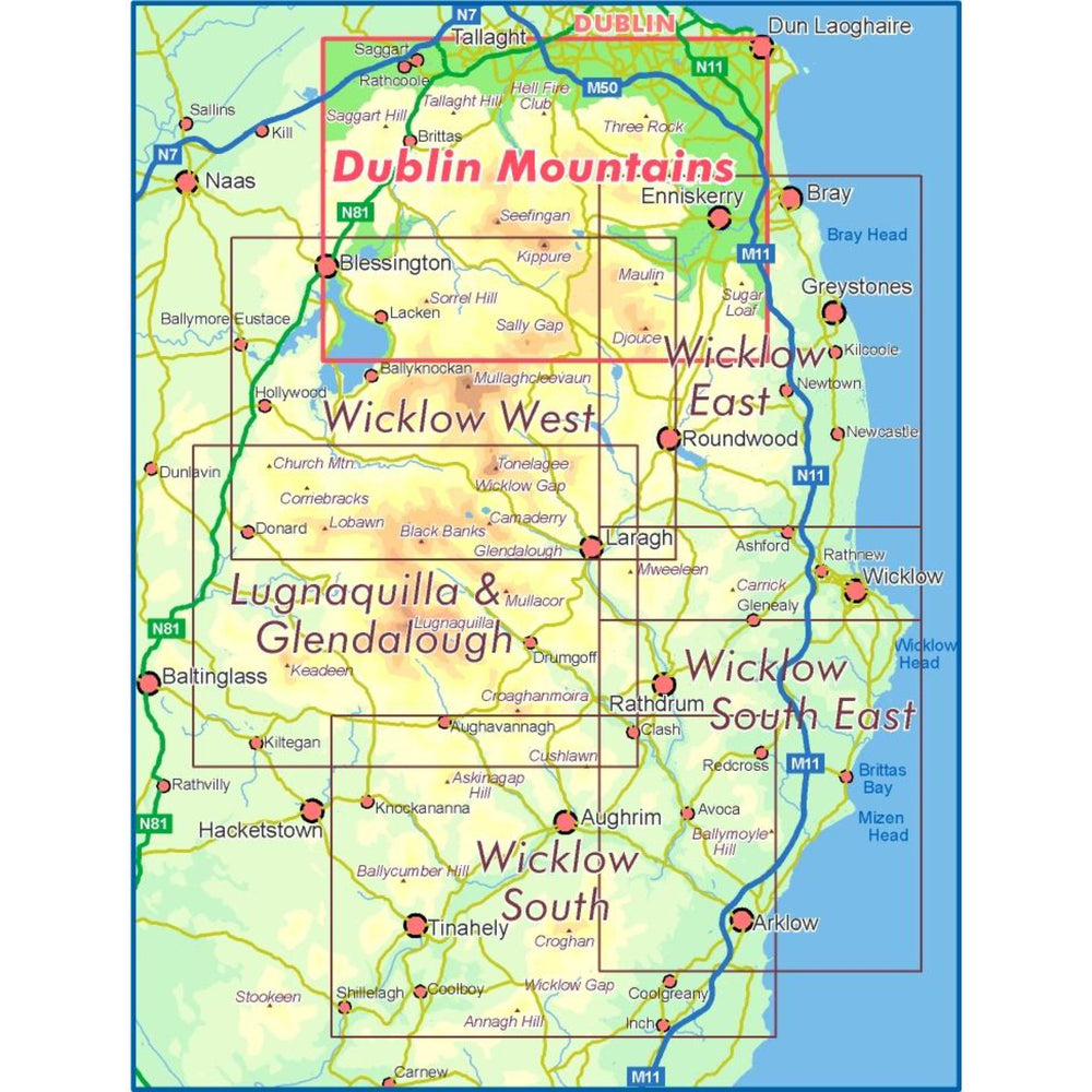
Definitive detailed map from our 25Series of Wicklow at 1:25,000 scale covering from Tallaght to Sally Gap and Blessington to Enniskerry. Covers all the Dublin Mountains including the full Dublin Mountains Way walking route plus other local waymarked trails. First published in 2009, this is a completely new and detailed map replacing the previous 1:30,000 scale maps. We have conducted considerable research into local sites & placenames and much information is recorded on this map. Printed on good quality Progeo 90gsm map paper, this map is encapsulated or laminated on both sides with a flexible laminate. It’s durable, waterproof and weatherproof. The map sheet measures 1125mm x 820mm, covering 550 sq kilometres and is folded down to 125mm x 205mm.
1:25,000 Scale : 1 centimetre on the map = 250 metres on the ground. Contour Interval : 5 metres.
Benefits
Features
Specifications
Material
Care Advice
Size & Fit
Merino Wool
 GORE-TEX
 GORE-TEX
Ideal for
- Free Delivery from €100
- Free 30 Day In-Store Returns
We offer FREE delivery on orders over €100 (excluding overweight items*) to the Republic of Ireland, for any order below the value we charge shipping fee of €5 per delivery.
Orders may take up to 2-3 working days to be processed and shipped, with delivery the next working day after dispatch unless otherwise advised.
*Scooters and overweight products will incur additional charges. Please contact us on the form below for more information.
Can't find what you're looking for?
We are here to help. Get in touch with us by email or call us on 01 824 9156 and we'll do our best to find what you need in one of our stores.
Here at 53 Degrees North, we understand the need for groups, companies and individuals to order products in bulk. Whether you are looking for a wrap gift for your hardworking crew, jackets to outfit your dedicated sales team, or water bottles to enhance your upcoming staff retreat.
Simply email Adam, your dedicated representative, on corporate.sales@53degreesnorth.ie and he will get in touch with you immediately.


